 |
| Okay, tell me which is south and which is north ... Note that the wind was (surprisingly) not strong at this point. This is their permanent growth position. |
I started out at Slope Point. Luckily the track was open (past lambing season).
 |
| Gate to track (access across private field) |
 |
| Don't think I'll go swimming |
 |
| View westwards along the coast |
Then I headed up towards Curio Bay ( = tree fossils in sedimentary rocks) Jurassic Forest. and Cathedral Caves.
 |
| Beach at Cathedral Caves. Entrance to caves in the 'indents' |
 |
| Cave developed along a fracture / zone of weakness in (meta) sedimentary rocks |
 |
| View OUT of cave. One can only access the caves at low tide, which happened to be at 5:30 pm when I visited. There is only a short window (~half hour) of easy access at low tide. This picture was taken at low tide, and you can see water is still making its way into the cave. |
 |
| View back into the cave. |
I then headed north to my true destination (the Chrystalls Beach Melange - which, as I showed in my Eyre Creek paper is NOT related to the Eyre Creek Melange). But not without a stop to scope out the Owaka Teapot Garden.
 |
| The owner's house |
 |
| View looking back towards the road. |
And I had to stop at Nugget Point as well .... There were a bunch of seals playing around down there. Penguins come in to nest in the evening. But this was midday.
 |
| View from Nugget Point Lighthouse. |
And then, en route to Chrystalls Beach I saw this novel means for extending one's gate.
 |
| Gate Extender |
And finally! the Chrystalls Beach Melange!
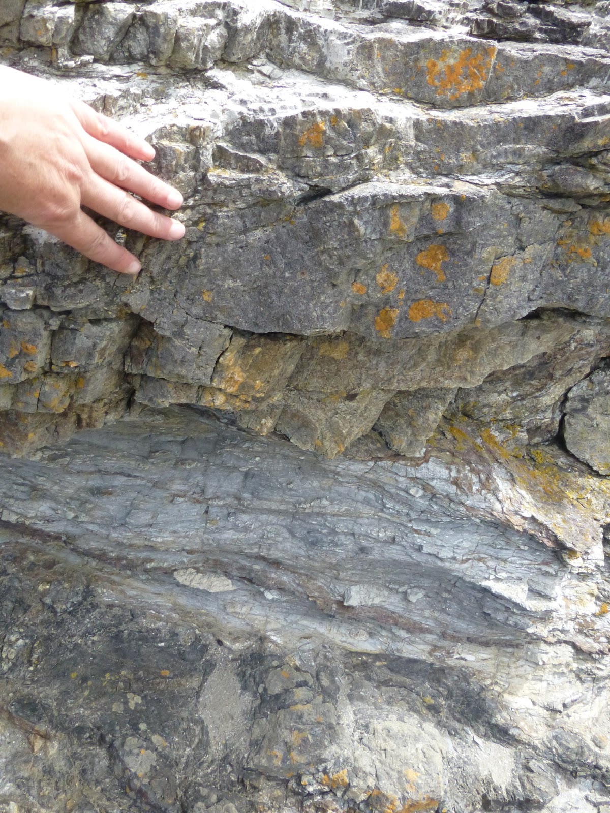 |
| Close-up view |
 |
| in the back-beach area, view of the beach area in distance. I of course was interested in the rocks. |
No comments:
Post a Comment