Thursday, January 31, 2013

Thin sections and papers .... and Central Otago ...

Well, my big accomplishment (busy work, avoiding brain work) was finally, after 20 years, cataloging my research thin sections. About 500 of them. All organized. I also discovered a whole set - about 30 thin sections - from the Baton River that I have never even worked on. Hmmm. Another project to complete.

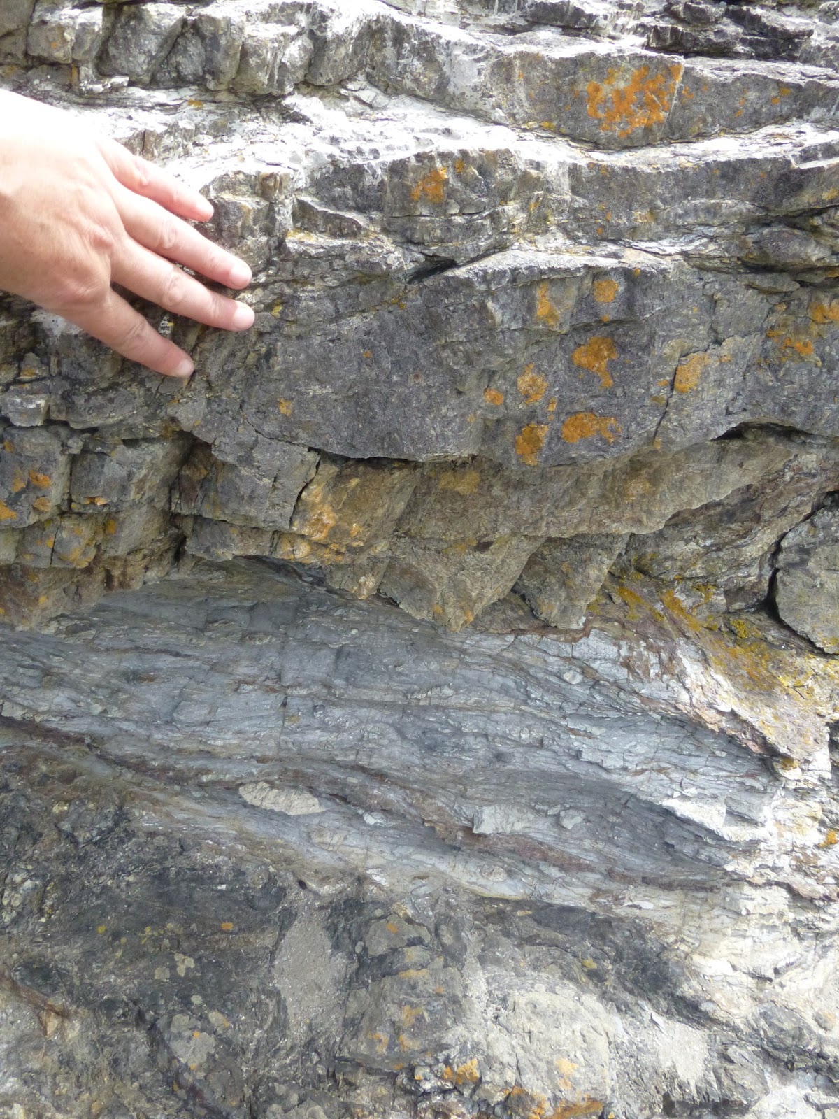
Last weekend I went into the field in Central Otago chasing down a hotly debated erosion surface with one of my former grad school colleaguess. We drove past the NIWA meteorological Research Station.

Entrance to Station 
For my Meteorology colleagues: Lauder Meteorological Research Station.
Nestled between sheep stations in Central Otago. 
 I also availed myself of the free offer (free with NZGS Conference enrollment from November 2012) from Taylor and Francis of free access to some of their Journals online ...up until Jan 31st (so, I did it on the 31st, of course), and I got a huge stack of pdfs of papers that I would never normally be able to access at St. Cloud. 
View from Duffers Saddle in Central Otago

It was good weather. My car seems to be doing okay,
although I baby it  somewhat on the gravel roads.
 
Bendigo - remnants from the gold-mining days in the 1860's

The Wedderburn Pub + ute

We did run in to a farmer herding his sheep along the road; him in the ute, with windows open, calling to the dog who was doing the work. They let us go past, which disrupted the sheep somewhat.

Sheep in front of Ute in distance. 
Sheep as we go past them 
Looking back on ... I can't recall which range ...

Heading towards Ophir in Central Otago at the end of the day

And, of course, I have to have a picture of the iconic Cromwell fruit.
Been eating lots of it - picked up from roadside fruit stands.
Other than that I am now quite overwhelmed by my next set of projects, and finding it hard to focus, although I had a kind of minor breakthrough in terms of interpreting part of my PhD field area. Makes me wonder why I didn't see it before. I've been trying to catch up on all the pertinent publications over the past 20 years ... sigh, and figure out what to tackle first.

Which means I'm heading out of town over the weekend - going to see the Manapouri power station / scheme in Fiordland, and get some walking in - I hope. It is still unseasonably warm / dry here, so lets hope that lasts over the weekend.

Tuesday, January 29, 2013

Otago Peninsula

My first excursion with my "new" car was out to "The Peninsula" (as locals would say). As I've mentioned before, the harbor is an old volcano. It only takes 15-20 minutes to drive to where I took the first view - looking back at Dunedin at the head of the harbor - although the view is usually obscured by cloud.

View SSW up the harbor towards Dunedin

View across the harbor towards the NW

View up the harbor towards the ocean - small settlements near the harbor road

Okay, I know you want to see some of these. 
 Then, I stopped and went for a walk at Sandfly Bay. There is good Penguin viewing there in the evening, but this was mid-afternoon, and I was planning on getting some work done in the evening. These were the signs at the start of the track. Rodents of various kinds (Possums) destroy  penguins, so they are poisoning them. They do a good job with signage - enough to make one take it seriously.


View of Sandfly Bay

After going for a walk at Sandfly Bay I continued around
to Hoopers inlet (I think that is the 'inlet' in the distance)


Then, the weather suddenly (in 20 mins) turned cold and nasty. Within 20 minutes there were strong (almost gale force) winds and hail showers. That had been in the forecast ... but it was hard to believe that it would change that quickly.

Storm rolling in from the southern ocean

Then the storm rolls past after 30 minutes
I've been working on finding the history of sampling within rock units called the "Greenland Group" and the "Golden Bay Group" all day. I now have a huge stack of ~20 papers to read, and I also need to figure out how to set up my GPS for use in New Zealand; I want to learn how to import the data for use in google earth - that will probably take me quite a while to figure out. I won't be doing the sampling for a while, but I want to get all the preparatory work done now, while I am still in Dunedin and familiar with the resources at hand. I also spent far too much time looking up work that has been done on tors in the "schist" in Central Otago.

Monday, January 28, 2013

The Catlins .. and Chrystalls Beach !

The Catlins is an area on the SE coast of the South Island. No big towns, just coast, beaches, farmland, and bush (=forest). And some rather nice rocks. It takes the full force of all southerlies that blow in across the southern ocean ...

Okay, tell me which is south and which is north ...
Note that the wind was (surprisingly) not strong at this point.
This is their permanent growth position.

I started out at Slope Point. Luckily the track was open (past lambing season).

Gate to track (access across private field)
Once there I found the obligatory informational sign.

Don't think I'll go swimming

View westwards along the coast


Then I headed up towards Curio Bay ( = tree fossils in sedimentary rocks) Jurassic Forest. and Cathedral Caves.
Beach at Cathedral Caves. Entrance to caves in the 'indents'

Cave developed along a fracture / zone of
weakness in (meta) sedimentary rocks

View OUT of cave. One can only access the caves at low tide,
which happened to be at 5:30 pm when I visited.
There is only a short window (~half hour) of easy access at low tide.
This picture was taken at low tide, and you can see water is
still making its way into the cave.
View back into the cave.

I then headed north to my true destination (the Chrystalls Beach Melange - which, as I showed in my Eyre Creek paper is NOT related to the Eyre Creek Melange). But not without a stop to scope out the Owaka Teapot Garden.

The owner's house


View looking back towards the road.

And I had to stop at Nugget Point as well .... There were a bunch of seals playing around down there. Penguins come in to nest in the evening. But this was midday.

View from Nugget Point Lighthouse.


And then, en route to Chrystalls Beach I saw this novel means for extending one's gate.


Gate Extender

And finally! the Chrystalls Beach Melange!

Close-up view

in the back-beach area, view of the beach area in distance.
I of course was interested in the rocks.


Sunday, January 27, 2013

Long Overdue ...

Where do I start? For those of you in the Northern Hemisphere I probably shouldn't mention the fact that I am currently seeking shade and coolness. After a weekend in the field (more on that later) I am horribly sunburnt. Even though I slathered the sunscreen on, I somehow got a nasty burn.

First things first. I am now  back in Dunedin until Feb 11th. I have (own) an old car, which I trust will take me up to Christchurch (I start there on the 14th). I have submitted the Eyre Creek manuscript, and am now about to embark on the next lot of manuscripts. I'll try and catch you up on some of my adventures in no particular order.

The Roxburgh Hydro Power Station / Dam. Note road on far side.


En Route to Central Otago (I've done several trips up there now) I usually stop for a break at Roxburgh, and check out the status of the Clutha River. Just out of view to the left, one can actually drive across the top of the dam. No-one policing it. Then down the gravel road you can see on the other side, to a picnic spot. When I took the wrong turn and ended up at the workers entrance, I was welcomed by their safety signs. After counting all my fingers I headed off.